Area Overview for Lanarkshire
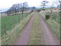
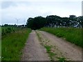
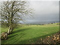
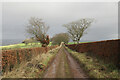
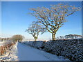
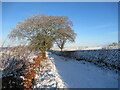
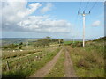
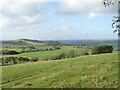
Photos of Lanarkshire
Area Information
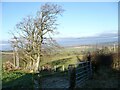
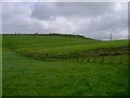
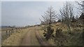
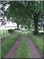
Lanarkshire sits within Scotland's Central Lowlands and Southern Uplands at approximately 55°35′N 3°50′W. This ceremonial county covers a total land area of 2142.1 km², positioning it as a significant region in the wider country. The territory historically coincided with the basin of the River Clyde and bordered historic counties including Dumfriesshire, Peeblesshire, Midlothian, Stirlingshire, Dunbartonshire, Renfrewshire and Ayrshire. Today, the area spans the modern council areas of North Lanarkshire, South Lanarkshire, Glasgow, and parts of East Dunbartonshire. It is no longer used for local government purposes but remains a distinct historical and geographical entity known as the County of Lanark or Clydesdale. Residents can access key towns such as Blantyre, Biggar, Bothwell, Hamilton, Lanark, Motherwell, New Lanark, Rutherglen and Uddingston. The landscape features main rivers including the Clyde, Douglas, Avon and Calder. You will find natural highlights like the Falls of Clyde and Tinto Hill alongside cultural sites such as the David Livingstone Centre in Blantyre and St Mungo's Cathedral in Glasgow. The highest point in the region is Culter Fell at 2,454 feet. Living in Lanarkshire means engaging with a mix of historic estates and industrial heritage defined by these specific landmarks and geographical contours.
- Area Type
- Ceremonial Counties Region
- Area Size
- 2142.1 km²
- Population
- Not available
- Population Density
- Not available
Demographics
Available data regarding the specific demographic profile of Lanarkshire is currently limited to historical and geographical contexts. The region's population structure relies on its major towns like Glasgow, Hamilton and Motherwell. Without current census figures on age, household types, or income levels, any attempt to describe the precise social composition would be speculative. You must note that core demographic indicators such as deprivation statistics and employment rates are not included in the provided information. Consequently, a detailed analysis of community diversity or ownership levels cannot be constructed from the available sources. The absence of specific numbers prevents a factual description of who currently resides in the area beyond the named geographical entities. While the region hosts significant towns, the exact breakdown of single-person households, families, or elderly residents remains unquantified in the present dataset. Similarly, specific data regarding home ownership percentages or rental market dominance is not provided. This limitation means any narrative attempting to define the lifestyle through demographic metrics would be baseless. You can only confirm the location covers the basin of the River Clyde and includes specific parishes and wards historically.
Household Size
Accommodation Type
Tenure
Ethnic Group
Religion
Household Composition
Age
Household Deprivation
NS-SEC
Explore more demographic insights in this area
Go to Demographics tabPlanning
Planning Constraints
- Crime RiskPremium